
Syria, Madison County, Shenandoah National Park
Hikes near Old Rag
The trails I’d spend a day on when you’re staying at the foot of Old Rag, sorted by how far you drive, with Park Service numbers and which ones take dogs.
On this page
Old Rag gets the attention. It’s one mountain in a valley full of trails. From our homestead you can walk to two trailheads and drive to three more in about 35 minutes. These are the hikes we send guests on, grouped by where they start, with the drive from the cabin by road, not as the crow flies.
Drive times are free-flow estimates by road from HikeShenandoah.com’s routing on OpenStreetMap roads. Narrow and gravel roads run slower. Distances, climbs, times and ratings are the National Park Service’s. The routes marked “measured” are the exception. The Park Service doesn’t publish those, so HikeShenandoah.com measured them along NPS trail lines.
 Walk to two of these trailheads Birch’s Library is 0.5 road miles from Berry Hollow and 0.7 from the lower White Oak Canyon lot. See Birch's Library
From the Syria side, minutes from Berry Hollow
Our side of the mountain. These start from the lots at the end of Weakley Hollow Road and Route 670, the quiet west side of Old Rag. Our cabin is 2 min, 0.5 mi by road from the Berry Hollow lot.
Old Rag Summit via Berry Hollow
- 5.4 mi
- 1,760 ft
- Strenuous
- 6 h 15 m
- No dogs
From the small Berry Hollow lot, you climb a fire road and then the Saddle Trail, steady the whole way, to the summit from the west. Same summit rocks as the circuit, no Ridge Trail scramble. Come back the way you went up.
Parking is extremely limited. Have a backup plan.
Old Rag Circuit from Berry HollowMeasured
- 9.2 mi
- 2,550 ft
- Very strenuous
- 7 h 40 m
- No dogs
From the Berry Hollow lot, walk up the Berry Hollow Fire Road to the junction below the Old Rag shelter, then down the Weakley Hollow Fire Road almost to Nethers and onto the Ridge Access Trail. Climb the Ridge Trail and its rock scramble to the summit, then come down the Saddle Trail past the Old Rag shelter and back down the Berry Hollow Fire Road to the lot.
NPS calls parking at Berry Hollow extremely limited. Do not park on private property or the state road.
The scramble is hard to reverse and slow when crowded. Plan for a full day.
Lower Whiteoak FallsEasiest
- 2 mi
- 500 ft
- Easiest
- 1 h 30 m
- Leashed dogs OK
- Good with kids
Start at the boundary lot on Weakley Hollow Road and follow the Whiteoak Canyon Trail along the river. Keep right at the Cedar Run junction, cross a small stream and continue to the base of the lower falls. Return the same way.
Rocks near the water are slick. Stay off the falls themselves.
Rose River Falls from Route 670Measured
- 14 mi
- 2,440 ft
- Very strenuous
- 11 h 40 m
- Leashed dogs OK
From the small lot where Route 670 ends above Syria, the gravel Rose River Fire Road climbs into the park for about 5.6 miles to the bridge over Hogcamp Branch below Dark Hollow Falls. That is most of the climbing, about 1,600 feet, on a fire road rather than a footpath.
The lot at the end of Route 670 holds about 6 cars.
Dogs are not allowed on the Dark Hollow Falls Trail if you add that side trip from the Hogcamp Branch bridge.

From Nethers, the east side
The Nethers Road lots are where the Ridge Trail starts. By road they’re 27 min, 14 mi from Berry Hollow, around the south end of the mountain.
Old Rag Circuit
- 9.4 mi
- 2,348 ft
- Very strenuous
- 7 h 30 m
- No dogs
Old Rag is the hike people plan a trip around. The Ridge Trail climbs through switchbacks to a mile of granite scrambling, with squeezes, ledges and one chute where you will use your hands. The views from the summit rocks run across the whole central Blue Ridge.
The scramble is hard to reverse and slow when crowded. Plan for a full day.
Tickets do not reserve parking. Arrive early on fall weekends.
Nicholson Hollow
- 8 mi
- 1,240 ft
- Moderately strenuous
- 7 hr
- Leashed dogs OK
From the Old Rag parking area up Nicholson Hollow to Corbin Cabin and back. Dogs are allowed here, unlike on the Old Rag summit trails.
The Madison County back way to Rapidan Camp
A walk up a fire road to Herbert Hoover’s retreat, without going anywhere near Skyline Drive.
Rapidan Camp from Route 649 (Rapidan WMA)Measured
- 3.9 mi
- 610 ft
- Moderate
- 2 h 45 m
- Leashed dogs OK
- Good with kids
Route 649 (Quaker Run Road) leaves Criglersville, turns to dirt past the state-maintained section and crosses the Rapidan Wildlife Management Area to a gate on the Rapidan Fire Road at the park boundary. Park along the road outside the gate, then walk the fire road up the Rapidan River to Rapidan Camp, about 1.9 miles. Return the same way.
Virginia DWR requires a hunting or fishing license or a DWR access permit to use the wildlife management area this route drives through.
DWR says the roads to and through the management area are narrow and rough and recommends four-wheel drive. Hunting is allowed there in season.
Up on Skyline Drive, an hour or more by road
The well-known waterfalls and summits up on the crest. From the Syria side you have to drive around to a park entrance first, so make a day of it. Check that Skyline Drive is open before you go. It closes in bad winter weather.
Upper Whiteoak Falls from Skyline Drive
- 4.6 mi
- 1,040 ft
- Moderate
- 3 h 30 m
- Leashed dogs OK
From the Skyline Drive lot at mile 42.6, the Whiteoak Canyon Trail descends past the Old Rag Fire Road and Limberlost junctions. About 2.3 miles in, a rocky ledge looks across to the upper falls. The climb back out is the hard part.
Save energy for the climb back to Skyline Drive.
Cedar Run and Whiteoak Canyon Circuit
- 8.1 mi
- 2,794 ft
- Very strenuous
- 7 hr
- Leashed dogs OK
Starting from Hawksbill Gap on Skyline Drive, this loop links the Cedar Run and Whiteoak Canyon trails. Expect several stream crossings and close to 2,800 feet of climbing. NPS rates it very strenuous.
Stream crossings can be difficult after rain.
Hawksbill Summit
- 1.7 mi
- 690 ft
- Moderate
- 1 h 15 m
- Leashed dogs OK
The shorter, steeper route to Hawksbill, the highest peak in the park, from Hawksbill Gap.
Rose River Falls Loop
- 4 mi
- 910 ft
- Moderate
- 4 h 30 m
- Leashed dogs OK
- Good with kids
The loop leaves from the Fishers Gap lot at mile 49.4 and passes the 67-foot Rose River Falls. A short side trip adds Dark Hollow Falls, about a quarter mile extra. NPS suggests it as the pet-friendly alternative to the Dark Hollow trail.
Dogs must stay off the Dark Hollow Falls Trail if you take the side trip.
Dark Hollow Falls
- 1.4 mi
- 440 ft
- Moderate
- 1 h 15 m
- No dogs
- Good with kids
The trail drops about three quarters of a mile from the Dark Hollow Falls lot to the falls, then returns the same way. It is short, but the return climb is steep and rocky, and the trail is slick when wet.
Steep climb back. Pets are not allowed on this trail.
Rapidan Camp
- 4 mi
- 870 ft
- Moderate
- 2 h 45 m
- Leashed dogs OK
- Good with kids
Cross Skyline Drive from Milam Gap, take the Appalachian Trail a few feet to the post, then follow Mill Prong down to Rapidan Camp, where Herbert and Lou Henry Hoover spent summers during his presidency. Three stream crossings, each about eight feet wide, can be hard after rain.
Turn around if stream crossings look unsafe.
Frequently asked questions
What’s the easiest hike near Old Rag?
Lower Whiteoak Falls. It’s 2 miles round trip with 500 feet of climbing, and the Park Service rates it the easiest grade on its scale. It starts from the boundary lot on Weakley Hollow Road, 2 min, 0.7 mi from our cabin.
Which hikes near Old Rag allow dogs?
Not Old Rag. Dogs aren’t allowed on any of its summit trails. Leashed dogs are fine on White Oak Canyon, Cedar Run, Nicholson Hollow from the Nethers lots, the Rose River loop and both routes to Rapidan Camp. Dark Hollow Falls is the other trail nearby where dogs aren’t allowed.
What can I hike if Old Rag tickets are sold out?
Anything else on this page. The $2 day-use ticket only covers Old Rag’s Ridge, Saddle and Ridge Access trails. White Oak Canyon is the usual plan B. Six waterfalls, no ticket, dogs welcome, and the lower lot is on the same road as Berry Hollow.
Can I hike Old Rag from the Syria side?
Yes. The Saddle Trail from Berry Hollow gets you to the summit without the scramble, 5.4 miles round trip. You can also do the full circuit from Berry Hollow, about 9.2 miles with the scramble. HikeShenandoah.com measured that one, because the Park Service only publishes the loop from Nethers.
How far are the Skyline Drive trailheads from Old Rag?
By road, an hour or more from the Syria side. The upper White Oak Canyon lot is 60 min, 37.7 mi from our cabin, and Hawksbill Gap is 65 min, 40.8 mi. The lower White Oak lot is 2 min, 0.7 mi.
Keep planning

Base camp for all of it
Two trailheads out the front door
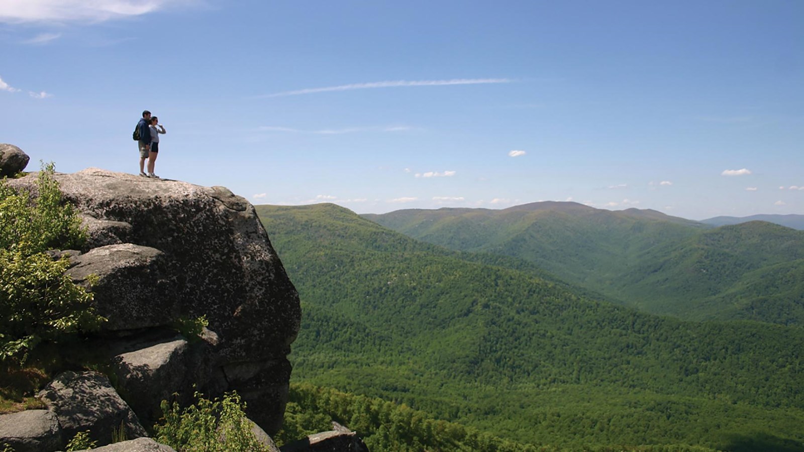
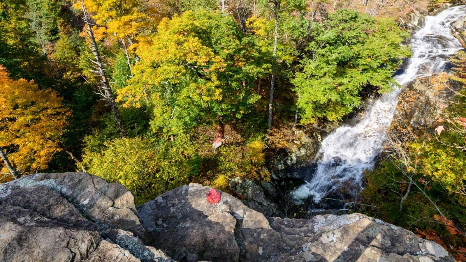
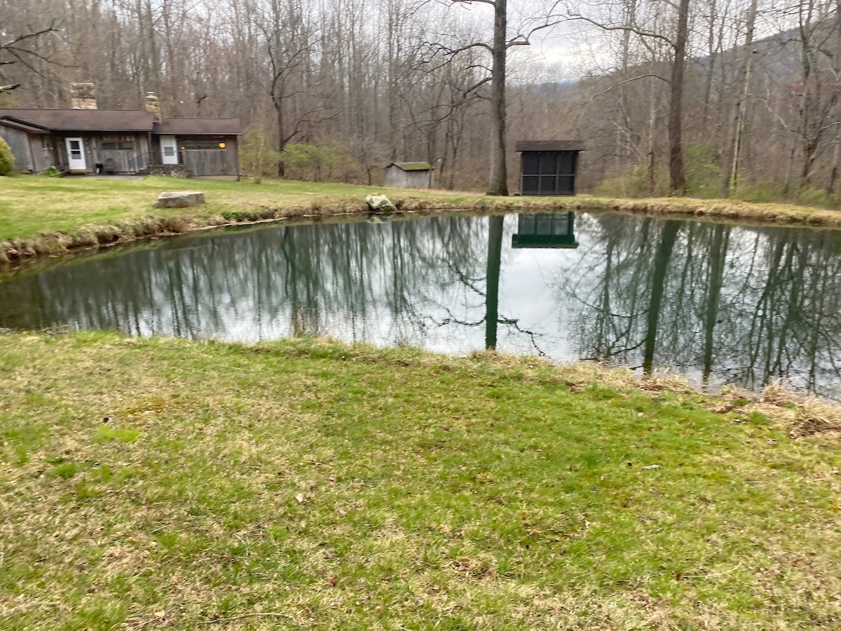
Birch’s Library is on 5+ private acres bordering Shenandoah National Park in Syria. It’s 0.5 road miles from Old Rag’s Berry Hollow lot and 0.7 from the lower White Oak Canyon lot. Hike a different trail every day, and skip the fight for parking at Old Rag.
- 5.0 stars from 35 Airbnb reviews
- Airbnb Guest Favorite
- 10/10 on Vrbo
- Dogs welcome